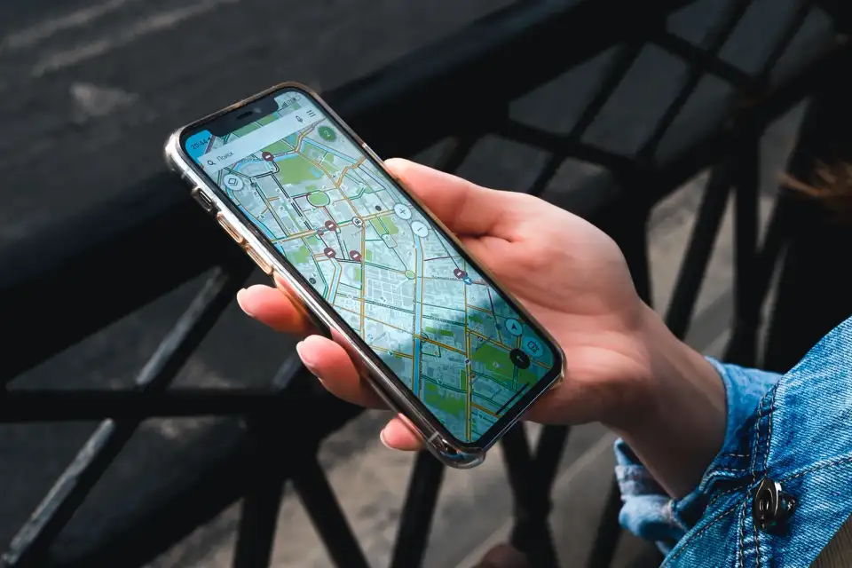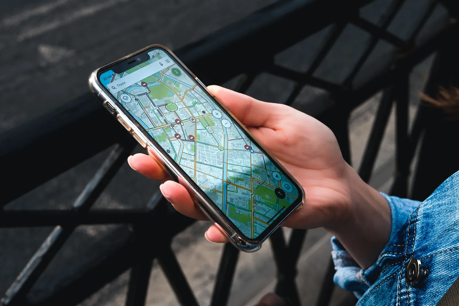
Most first-time visitors to Korea discover the mapping problem the same way: they step out of a subway exit, open the app they have used everywhere else in the world, and watch it either fail to route them at all or send them confidently down a street that does not lead where the blue line says it does. It is not a data connection problem and it is not user error. The app simply does not have the map.
This is a structural limitation, not a glitch
The cause is long standing South Korean rules on exporting detailed geographic data outside the country, put in place decades ago for security reasons and never fully lifted for civilian mapping. International services can license some of what they need, which is why place search and public transport routing largely work, but the fine grained road and footpath network that walking and driving directions depend on has stayed out of reach. The government moved to ease those restrictions in 2026, but working turn by turn walking and driving navigation had not followed by the time this was written, so treat this as a limitation to plan around rather than one that has already been fixed. Every visitor hits the same wall in the same way, and no software update on your phone alone changes it.
What actually works in an international map app
Searching for a named place generally works, and a pin will usually appear close to the right spot.
Public transport directions are broadly reliable, because transit data licensing follows different rules from road data.
Getting there on foot or by car is where it breaks down: routes are frequently missing, sent the wrong way down one-way streets, or simply refuse to calculate.
Business details such as opening hours, phone numbers and photographs are often outdated or absent.
Saving pins for later still works fine, which is why some visitors keep an international app open purely as a bookmark list.
Naver Map and KakaoMap, and why some people install both
Naver Map and KakaoMap are the two Korean apps that carry the full dataset, both have an English interface, and both cover walking, driving, cycling and transit routing across the entire country with accurate business listings, floor numbers and current opening hours.
| Naver Map | KakaoMap | |
|---|---|---|
| English interface | Yes | Yes |
| Walking and driving routes | Full coverage | Full coverage |
| Business listings and hours | Very strong | Very strong |
| Common visitor preference | Slightly more used by tourists | Slightly stronger for taxi calling |
| Offline packs | Limited, walking only | Limited, walking only |
Neither app is clearly better across the board, and a good number of frequent visitors and residents end up with both, mostly because a specific address or a specific bus route occasionally shows up cleanly in one and not the other. If you only want to learn one interface, either choice covers a trip.
Kakao T, the ride-hailing app from the same company behind KakaoMap, is worth installing alongside whichever mapping app you settle on, since it hails a metered taxi with the destination already entered, which removes any need to explain where you are going out loud. It is a separate app from KakaoMap itself, but the two work well together, and pairing a map app with a taxi app covers most of what a visitor needs for getting from one point to another.
Let someone else handle the route for a dayA guided day tour reaches temples, coastlines and villages without any app at allSearching when the English name does not turn anything up
The English mode translates the interface, not every listing, and a smaller restaurant, cafe or shop is frequently filed only under its Korean name. If a search for the English name a website gave you comes back empty, try pasting the Korean text directly, which is usually printed somewhere on the same page or booking confirmation. Searching by the name of the nearest subway station and exit number, rather than a street address, also finds a surprising number of small businesses that a direct name search misses.

Making sense of Korean addresses
Korea introduced a street name and number address system some years ago, running in parallel with an older land lot numbering system that many people, including plenty of locals, still use out of habit. In practice this means a single location can be described three different ways: the formal street address, an older lot number, or simply the building name and the nearest subway exit. Both Naver Map and KakaoMap accept all three and will usually show the building name and the exit number on the listing itself, which tends to be the fastest way to find the actual door once you are close.
This also explains why a taxi driver or a delivery courier sometimes asks a follow-up question after you have given what feels like a complete address. Buildings in a large complex, or restaurants stacked on different floors of the same block, are not always distinguishable from the address alone, and locals routinely fall back on a shop name, a nearby landmark or a floor number to close the gap. Reading the full listing on the map app, rather than only the top line of the address, usually gives you the same extra detail before you need to ask.
Floor numbers deserve the same attention, because a great many of the good places in a Korean city are not at street level. Cafes, bars and small restaurants stack up a building, and both Korean apps list the floor on the business entry alongside the opening hours. International apps frequently do not carry it, which is another way the same address sends you to the right door and the wrong storey.
Offline maps are not a full substitute
Both Korean apps let you download an offline area for walking directions, and that is genuinely useful on a hiking trail or in a spot with weak signal. What it does not reliably cover is driving routes, live traffic, live transit arrival times or fresh business listings, all of which need a connection to work properly. International offline map apps carry the same missing road data offline that they have online, so downloading one in advance does not solve the underlying problem. Treat mobile data as part of the trip plan rather than something to fall back on only when wifi runs out.
Setting up before you fly
Install Naver Map or KakaoMap at home, on wifi, and set the interface language while you still have a reliable connection and time to explore the settings menu. Search for your accommodation and your first day’s plans so the app has learned the spelling and location before you need it under pressure. If you use voice guidance, confirm it is also set to a language you follow, since the default in some regions is Korean regardless of the interface setting.
For the wider picture of subways, buses, taxis and trains once you can find your way to the platform, our guide to getting around South Korea covers the system. For the data plan that keeps any of this working from the moment you land, our guide to SIM cards, eSIMs and mobile data in Korea covers the options. And the app will happily route you onto a bus you cannot board without the right card, so our guide to the T-money card covers the one piece of plastic that makes the directions usable.

The short version
International map apps lose their walking and driving directions in Korea because of long standing data export rules, not because of anything wrong with your phone. Install Naver Map or KakaoMap before you fly, set the language while you still have reliable wifi, and search by subway exit or Korean text when an English name search comes up empty. Offline packs help on a trail but will not replace a working data connection in a city. Once the app is set up, the address confusion that trips up most first-time visitors mostly disappears.