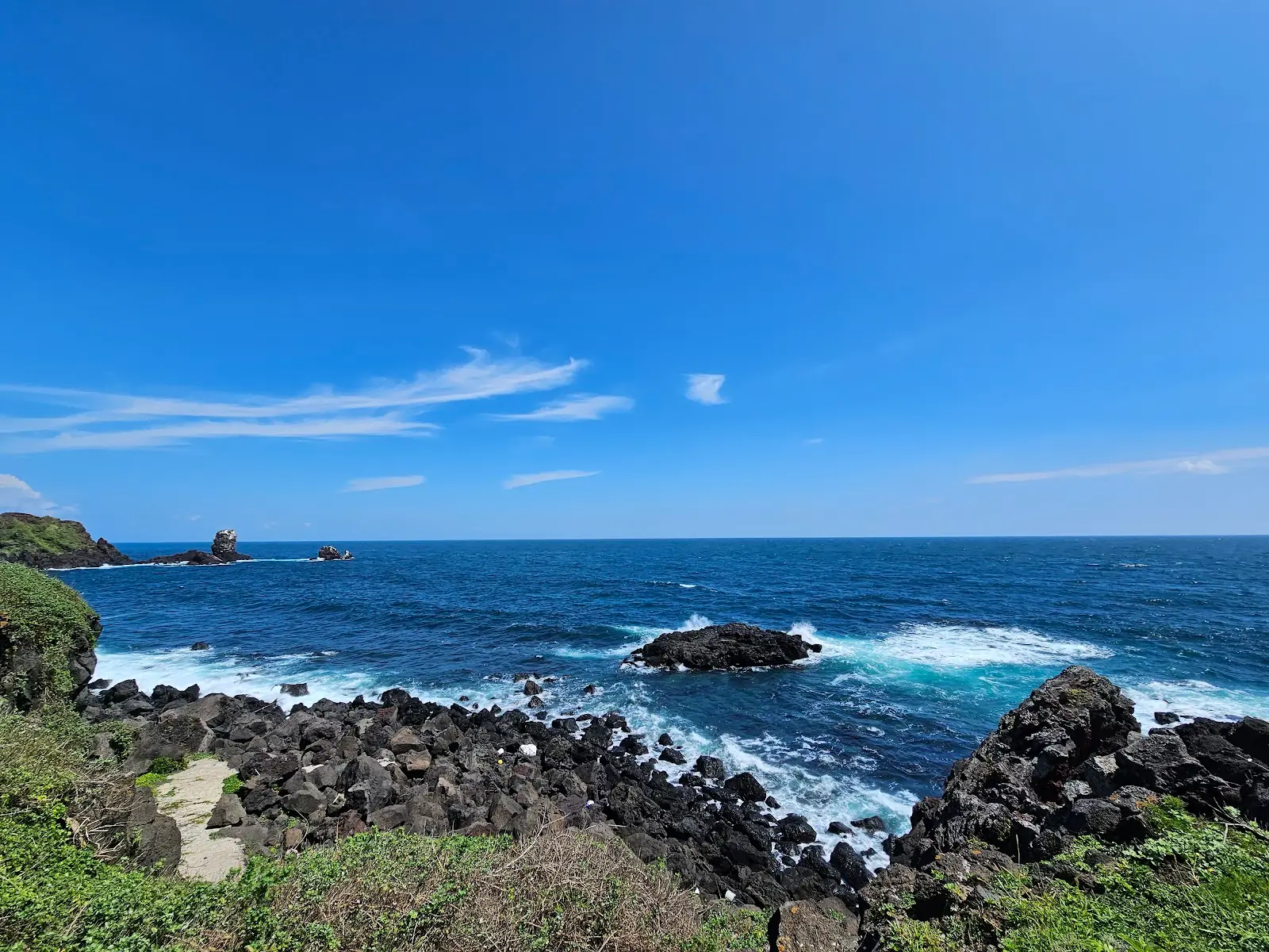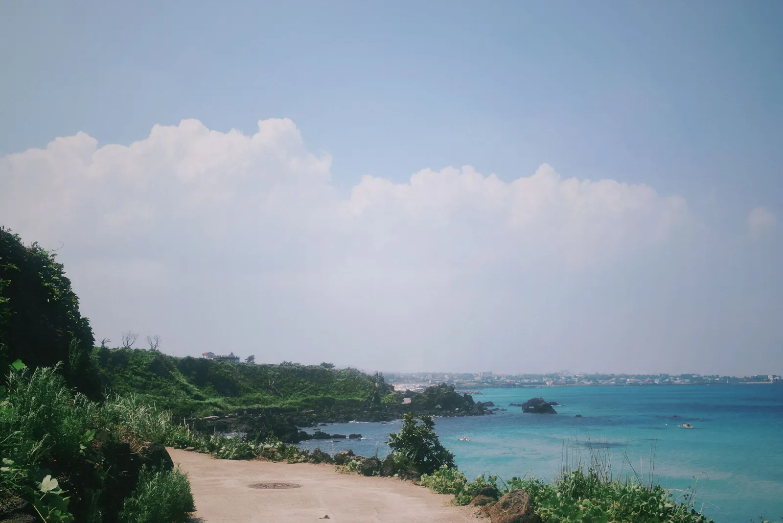
Jeju has a walking network that works the way walking networks should. The Olle Trail is a waymarked circuit of the island cut into more than twenty numbered routes, each one a day’s walk of ten to twenty kilometres, marked by blue and orange ribbons tied to fences and a small blue horse painted on posts. You do not need a guide, a map or a plan beyond deciding which number to walk. Local buses reach the start and end of most of them, and the whole thing is free.
How it works
Numbered routes, more than twenty, each an independent day walk.
Ten to twenty kilometres each, on coast paths, farm tracks, village lanes and some road.
Ribbons and a blue horse as waymarks, frequent enough to walk without a map.
Official app and a stamp passport, both of which people use as a route guide.
Start and end points reachable on local buses, which is what makes it practical.
Free, with no permits and no booking.
Choosing a route
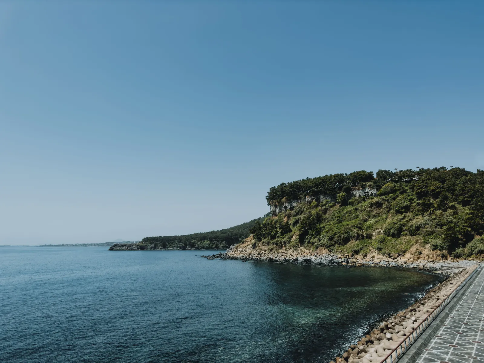
The southern coast routes for cliffs, black rock and sea all day.
The western routes for beaches, salt flats and lighthouse headlands.
The interior routes for farmland, forest and almost nobody.
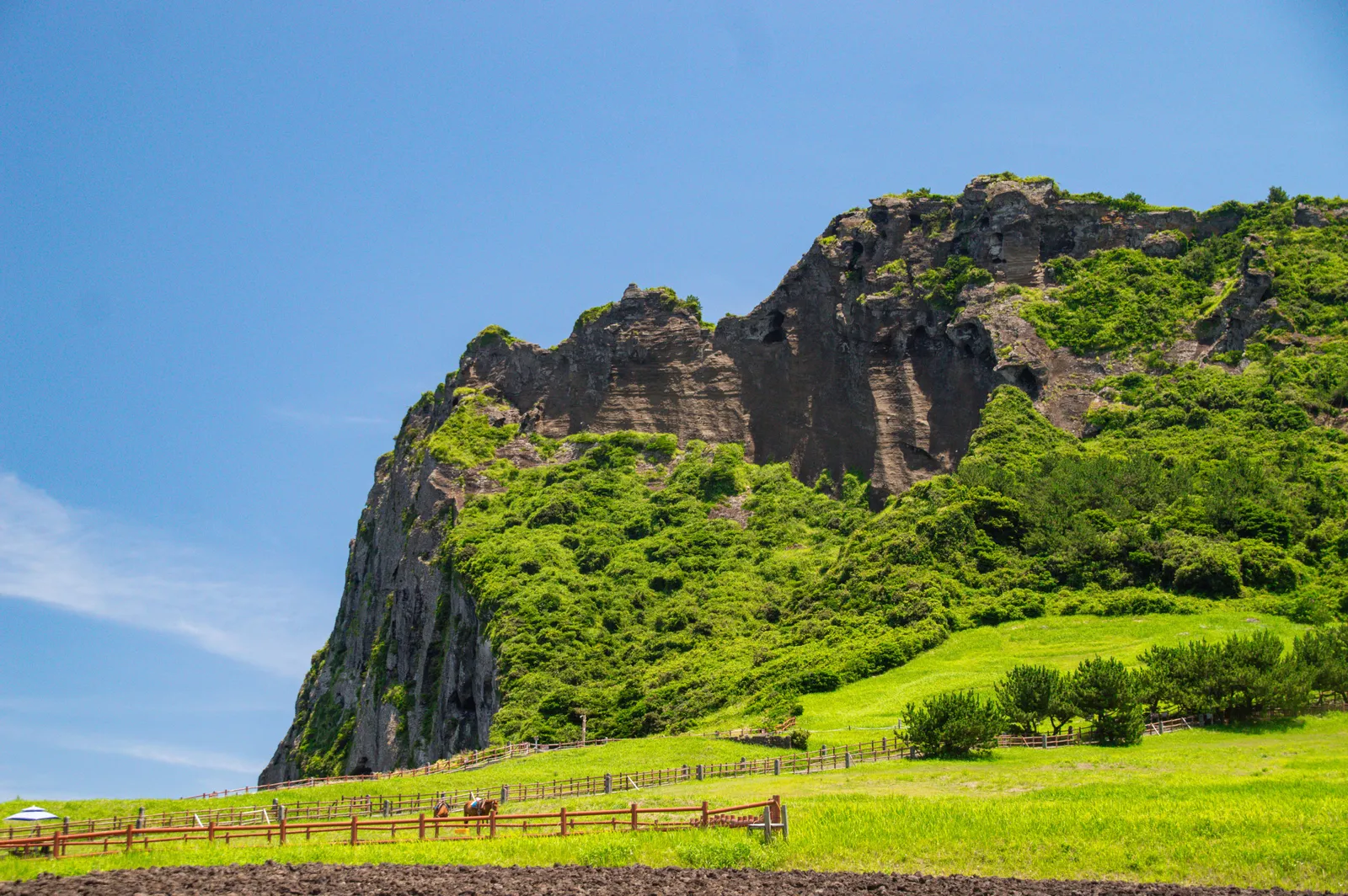
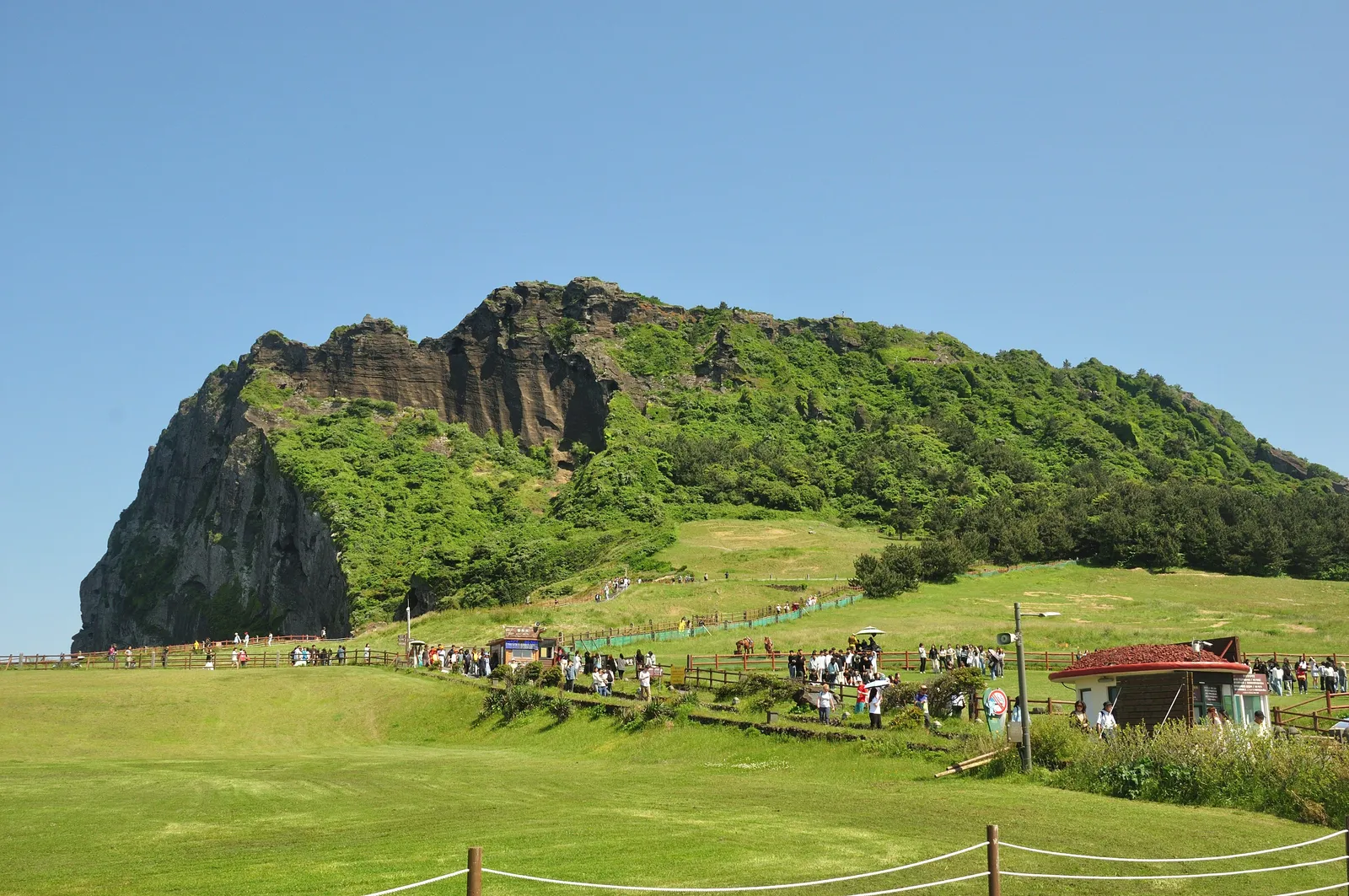
The eastern routes for the tuff cone and the sunrise peak.
Ask locally which sections are being rerouted, because they change.
One route a day, and two in a day only if you like walking a great deal.
Practical notes
Water and sun protection, because much of the coast has no shade at all.
Wind, constantly, which is the defining Jeju weather and is worse than the temperature.
Buses with a transport card, which works across the island.
Convenience stores in the villages, which is where lunch comes from.
Typhoon season in late summer closes sections; check before setting out.
The stamp passport, sold at the information centres, which is a nice souvenir and a route guide.
What you walk past
Black basalt coastline and lava rock beaches, which is the island’s whole geology.
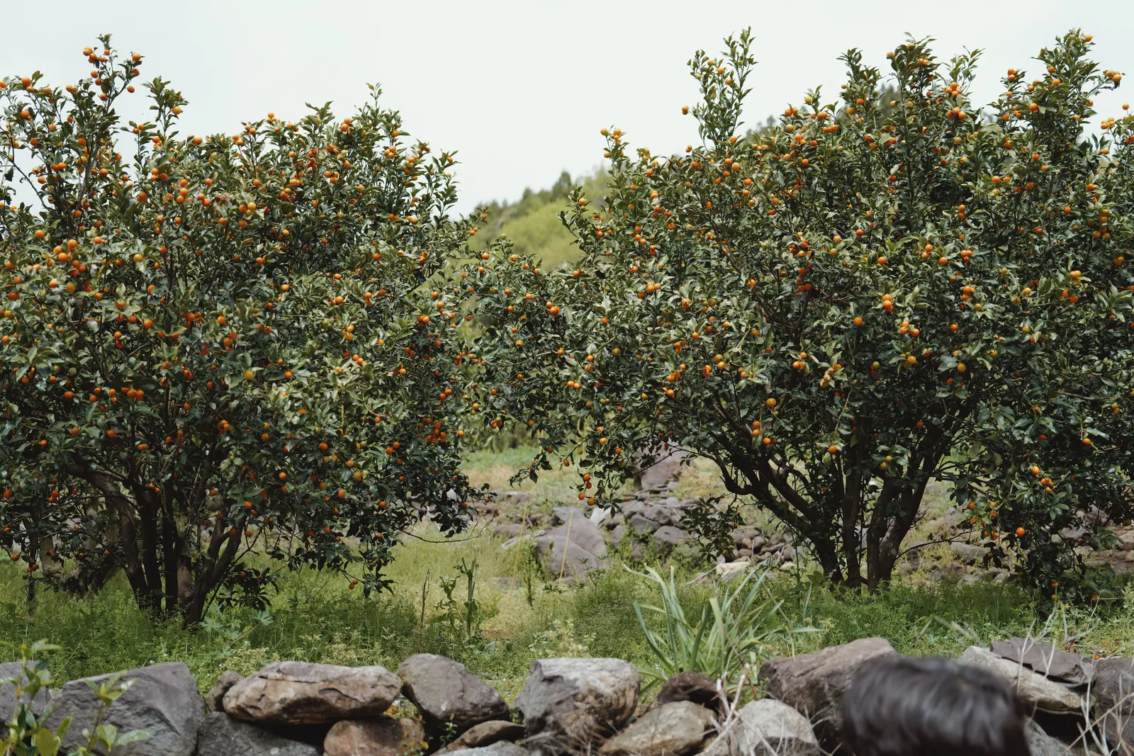
Tangerine groves behind stone walls, which are everywhere.
Haenyeo diving sites, where the island’s women divers still work.
Oreum, the small volcanic cones, several of which the routes climb.
Village shrines and stone grandfathers, the carved figures unique to Jeju.
Very few other walkers, on most routes, on most days.
Where this fits in a Jeju trip
Two or three routes inside a four or five day island trip, with other things between them.
For the island overall and how to plan the days, our guide to Jeju covers the ground.
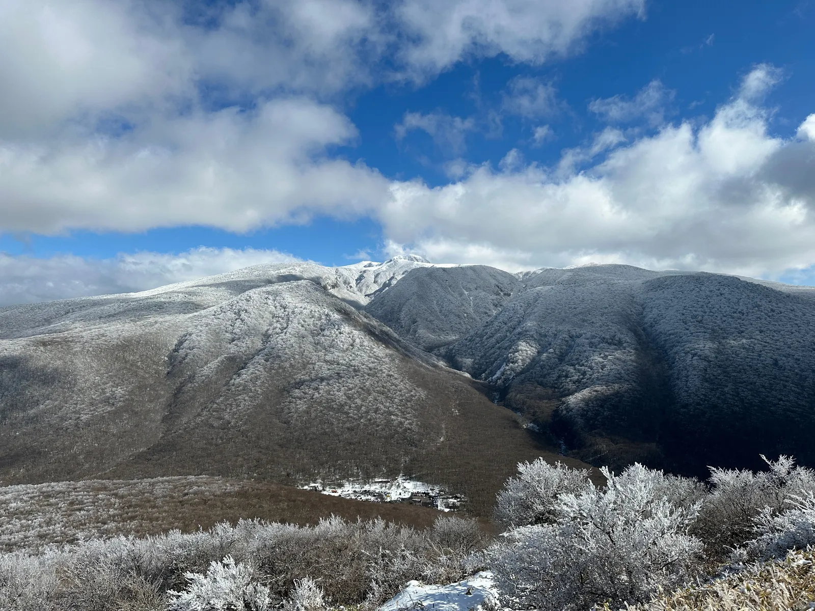
For the mountain in the middle, which is a completely different kind of day, our Hallasan guide covers the climb.
And for why most Korean visitors come to this island in the first place, our guide to Korea for a honeymoon covers the rest.
The short version
Pick two or three numbered routes rather than attempting the circuit, and base yourself in two places rather than moving nightly. Take the southern and western coastal routes for the best of it. Follow the ribbons and the blue horse; you do not need a map. Look up the return bus before you set off and walk the route backwards if that makes the finish better connected. Carry water and sun protection, expect wind, and buy lunch at a village convenience store.